
|
Information in PDF format requires an Adobe Reader 7 or later 
|
INTRODUCTIONEffective "March 1, 2010", the electronic and printed versions of the Control Section Map Book shall supercede all previous editions. The maps contained herein have been changed to conform to the Oklahoma Highway Data File. All lengths are recorded to the nearest 0.01 hundredth mile / kilometer. If beginning or ending point locations are in doubt, refer to the Control Section Log. Any errors found in this report should be brought to the attention of the Planning and Research Division, GIS Management Branch. The suffix "P" on a control section number denotes Projected Highway.
Normally, the route number on Projected Highways will be "P&S". Henceforth, control section numbers and lengths will be revised only when construction changes require it or when, due to route number changes, there is no longer a continuous route number that can be assigned to the entire section.
Multi-Sheet Maps Oklahoma County Oklahoma City Oklahoma County Insets Tulsa County Tulsa Tulsa County Insets Single Sheet Maps County Selectable State Map 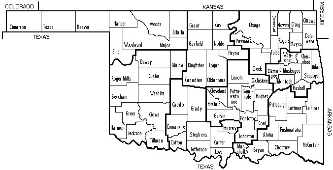
|
||||||||||||||
